
PICCOLO PICCO IVIGNA
The city at your feet
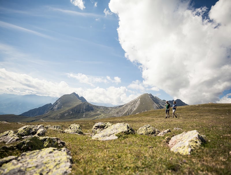
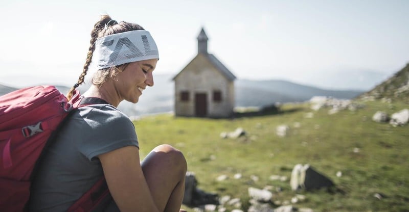
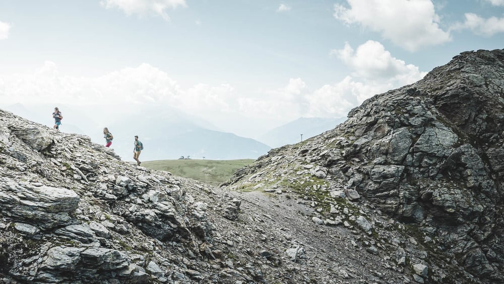
Piccolo Picco Ivigna, at the foot of the local mountain of Merano, Avelengo and Scena reaches an altitude of 2552 m above sea-level. The hike leads past the picturesque church of S. Osvaldo and promises breathtaking views on the valley and the town of Merano.
Trail no. 19A will be closed from 01/09/2025 to 31/12/2025 due to maintenance work.
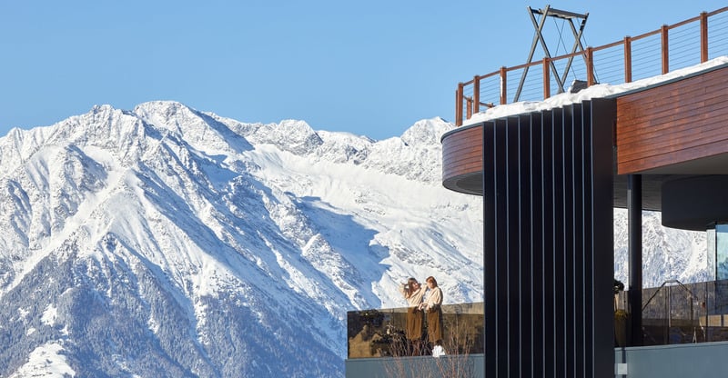
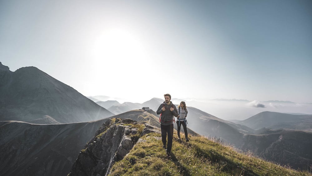
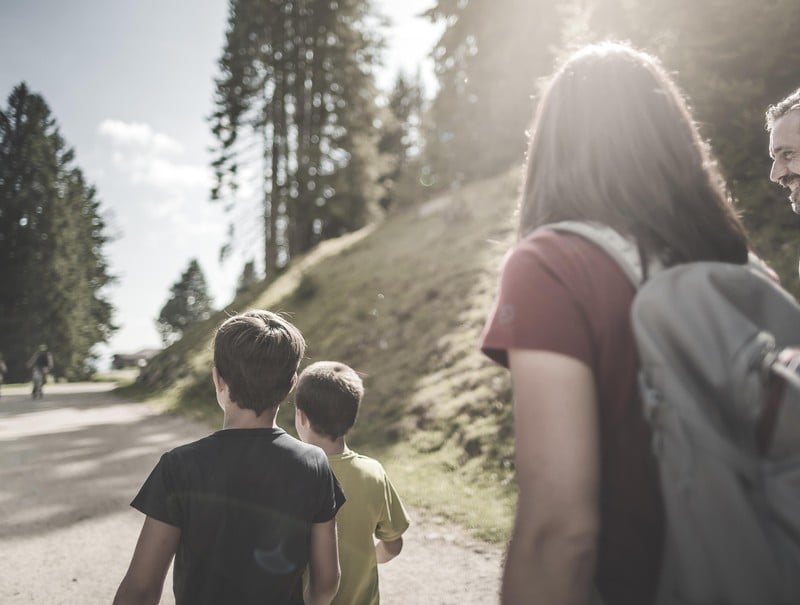
The route starts at the Merano 2000 upper cable car station. From there, take trail no. 3 to reach the VISTA mid-station, where you can enjoy a unique view of the Dolomites. Then continue along trail no. 19 to the Little Ivigna.
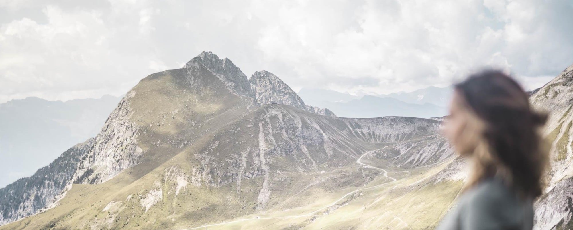
Once you're at the top, you'll be rewarded with stunning 360° panoramic views as far as the Zillertal and Ötztal Alps, the Ortles and Gruppo Tessa ranges as well as the magnificent Dolomites.
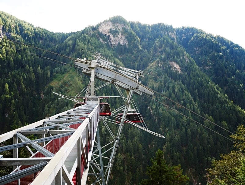
! OUR TIP: If you want to shorten the way, take the cable car Naifjoch to the mid station VISTA or the mountain hut Waidmann and start your hike from here. The Summer-Day-Ticket >
Trail no. 19A will be closed from 01/09/2025 to 31/12/2025 due to maintenance work.
The route starts at the Merano 2000 upper cable car station. From there, take trail no. 3 to reach the VISTA mid-station, where you can enjoy a unique view of the Dolomites. Then continue along trail no. 19 to the Little Ivigna.
Once you're at the top, you'll be rewarded with stunning 360° panoramic views as far as the Zillertal and Ötztal Alps, the Ortles and Gruppo Tessa ranges as well as the magnificent Dolomites.
! OUR TIP: If you want to shorten the way, take the cable car Naifjoch to the mid station VISTA or the mountain hut Waidmann and start your hike from here. The Summer-Day-Ticket >

DETAILS
TIME ONE-WAY: 3-3,5 hours
HEIGHT DIFF.: 552 m
MAX. HEIGHT: 2.552 m
TRAIL-NO.: 18-18A-19A-19
HUTS: CUBUS Restaurant, Piffinger Köpfl alpine hut, Waidmann alpine hut, Kuhleiten alpine hut
OPEN THE MAP >
HEIGHT DIFF.: 552 m
MAX. HEIGHT: 2.552 m
TRAIL-NO.: 18-18A-19A-19
HUTS: CUBUS Restaurant, Piffinger Köpfl alpine hut, Waidmann alpine hut, Kuhleiten alpine hut
OPEN THE MAP >
Would you like to bookmark this page for later? Simply click on the rucksack icon. That way you can add it to your favourite experiences, return to it later or share it with your friends.
MORE OF IT
Discover all of our tips
FROM THE MID-WAY STATION
TO MASO GSTEIER
Ride the ropeway to its mid-way station, a fascinating architectural feat, take a short walk downhill crossing the steep pastures of the Maso Gsteier inn and treat yourself to some of their famous home-cooked delicacies. From there, you can hike to scenic Scena, uphill to the mountain station of the ropeway or simply back down to the valley station.